Predict & Prevent™: How a New Generation of Tech Is Mitigating General Property Losses Before They Occur
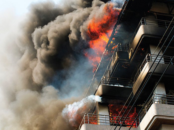
By the time you smell smoke, it may already be too late.
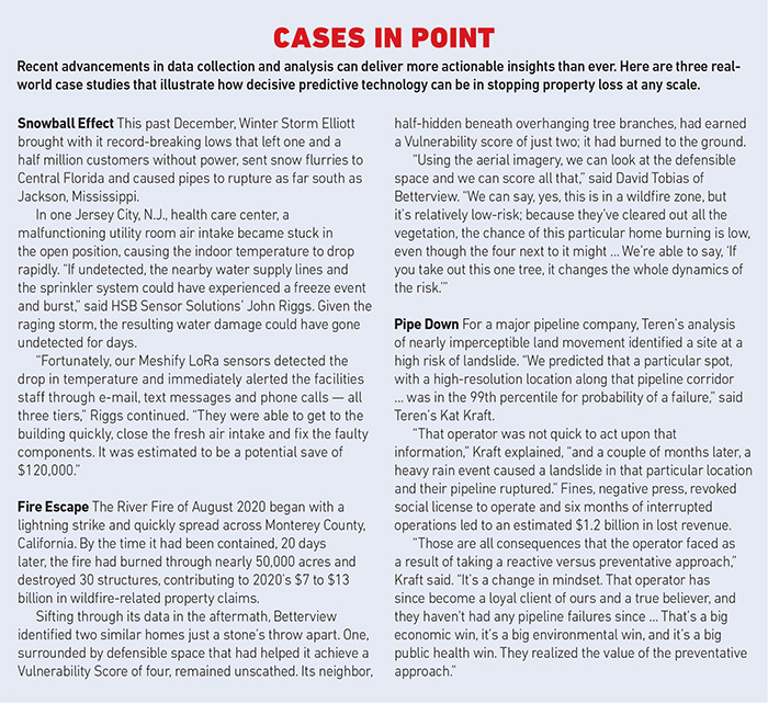
In scenarios that can lead to property loss — a fire, say, or a frozen pipe — an immediate response can make all the difference. Sprinkler systems, burglar alarms and other technologies that alert us to loss events are critical to mitigating property damage and protecting human lives.
But what does the next generation of property loss tech look like? Could it stop these events before they occur?
Better data collection and artificial intelligence now allow us to scale up our efforts to prevent property damage — to widen the scope of threats we can evaluate, to analyze more data and reveal actionable insights, and to target proactive measures at the property, site or even infrastructural level.
Sensor Sensibility
There’s no discounting the value of systems that alert people to a loss event in progress. But traditional alarms typically have serious limitations: They’re not incorporated into a larger diagnostic system, can’t alert off-site users when an event is in progress, and they can’t project how conditions that are within the bounds of acceptability may deteriorate in the future.
Internet of Things-enabled sensors can do all of the above.
Remote oversight is especially crucial to monitoring more risks at greater scale. One example is Sensor Solutions by HSB, which makes a range of sensor hardware operable via its Protect app — cellular or LoRa (long-range WAN) sensors to detect temperature, the presence of water and more.
Cellular sensors boast the ability to communicate with users anywhere on earth even during a power outage; LoRa sensors, meanwhile, can run on battery power for years, making them easy to install and maintain.

John Riggs, senior vice president, Applied Technology Solutions, HSB Group
“We provide reporting and dashboards on the program,” said John Riggs, senior vice president, Applied Technology Solutions for HSB Group. These let users know “how many sensors are deployed, what kinds of occupancies, what locations, and helps them monitor alerts on a portfolio view … I can look at every single sensor. I can see the temperature of the room, I can see the battery life of the sensor, I can see if it’s detected a freeze condition or the presence of water. And I can do all of that from remote.”
In combination with algorithms that assess not just present conditions but also changes over time, a diverse sensor array can be an incredibly powerful tool to alert property owners to potential loss.
“We can track trends in ambient temperatures, pipe temperatures and water flow through a pipe by monitoring the actual water flow, either intrusively or externally,” Riggs said. “We can also predict mold growth by looking at humidity and temperature … I can put a temperature sensor in a commercial refrigerator, and if the temperature of that refrigerator goes out of bounds, it could alert a lot of things — it could alert that the compressor’s breaking down; it could alert that refrigerant has leaked. It could alert that someone left the door open, believe it or not. There’s a wine solution we have where, in many instances, an alert led to the discovery that the wine cellar door was left open. It’s as simple as that sometimes.”
Added to the system, Whisker Labs’ Ting sensors measure minuscule fluctuations in a building’s voltage 60,000 times a second, then analyze them for the signatures indicative of tiny electrical arcs — the result of poor wiring and a common culprit in structure fires.
“We can look at voltage readings and predict, ‘Hey, that’s not you running your power drill — somebody left an electric blanket plugged in and never turned it off’ … and something is not going well,” Riggs said. “That’s a prediction. There’s no fire in your home yet. We’re predicting the potential peril.”
A Bird’s Eye View
Sensor and camera arrays can keep close tabs of on-the-ground conditions at various points throughout a property, but for the full picture of a site’s perils, you’ll need to take a more holistic view.

Kevin Tulp, senior solutions engineer, Nearmap
Like sensor hardware, remote analysis of on-site perils is benefiting from advances in improved data collection and analysis. While satellites and drones can also be used to gather aerial snapshots, “the plane’s kind of the Goldilocks for imagery,” said Kevin Tulp, senior solutions engineer of geospatial mapping company Nearmap. “You get really high resolution, closer to a drone in resolution, but then you get pretty good temporal resolution, meaning multiple times a year, like a satellite.”
Nearmap’s imagery and LIDAR maps are available for sale, “but I think the magic happens in all of our machine learning and post-processing we do,” Tulp said. “We turn that into AI products, property intelligence products, and 3D recreations of what we’re seeing in the world. Because it’s such a high resolution … we can do some really realistic modeling.”
Among Nearmap’s clients are Betterview and CoreLogic’s Protect, property intelligence platforms that turn geospatial data into purpose-built site analysis. By combining geospatial with data from various other sources — climate models, claims histories, even MLS listings — they’re able to digest complex variables into scores that insurers can use to evaluate risk.
“Investors and shareholders are expecting companies, more and more, to leverage the preventative and mitigative approach over the reactive approach.”
— Kat Kraft, director of product, Teren
Besides risk scores, Betterview and CoreLogic provide insurers with detailed breakdowns of individual site perils, effectively drawing a roadmap for loss mitigation measures.
“Carriers are starting to do a better job at helping residents [be proactive],” said Garrett Gray, president of Protect, CoreLogic. “For example, asking that there not be vegetation that goes right up to the house … There’s about 12 different mitigating factors that the California DOI is now preparing to ask carriers to look at,” Gray said. “It could be other property data in terms of cost to rebuild, the typical characteristics for that house or property — there’s a number of things, depending on what they’re looking at, that we can help them [with] in their underwriting process.”
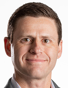
David Tobias, cofounder, Betterview
“You can do things on a micro level,” added David Tobias, cofounder of Betterview, “to really make a risk better even in an high-hazard area. That’s what this type of technology allows you to do, which [historically] you really couldn’t do at scale without sending people out, a very tedious, expensive kind of process … Geospatial intelligence allows you to look at an individual risk.
“We’re using machine learning, specifically computer vision, to detect things like roof shape, roof material, damage to the roof [by looking at] missing shingles, staining, ponding, things like that. And then other characteristics around the property — is there a pool on site?” Tobias continued. “And we have a data science team that works on figuring out, ‘Well, for roof claims or wind and hail claims, what combination and weights of shape and material and damage and so on matter?’ What is predictive of loss?”
Outside-the-Fence Events
In addition to on-site perils, a predictive approach addresses extrinsic events like floods or wildfires that, while unstoppable by an individual property owner, can be ameliorated with the right preparation.
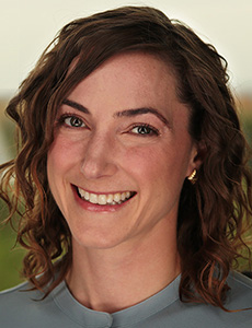
Kat Kraft, director of product, Teren
“We focus on … aggregating remotely sensed data from a variety of different sources,” said Kat Kraft, director of product at risk modeling firm Teren. “[Data] about the terrain and hydrology and different mechanisms on the landscape that can manifest as a hazard, such as a landslide or a wildfire or a flooding event. And then we integrate weather analysis into that.”
After identifying high-exposure areas, Teren zooms in on specific vulnerabilities of the physical environment, then uses AI to calculate how they might impact clients’ assets.
“Imagine if you have a transportation corridor or a pipeline right of way,” Kraft said, “or that you’re a commercial property owner and have 1,000 storefronts across the U.S. You’re going to want to understand not only where the most vulnerable spots are, but … in the event of a significant weather event, an anomalous weather event, where water is most likely to cross the landscape and pool at your doorstep or in your basement, for instance.”
Dodging misfortune by redirecting stormwater runoff, replanting vegetation or avoiding risk-prone sites in the first place is “not just environmentally friendly,” Kraft said — it’s also far more economical.
“Investors and shareholders are expecting companies, more and more, to leverage the preventative and mitigative approach over the reactive approach,” Kraft added.
The Bigger Picture
Each of these technologies is powerful when used on an ad hoc basis, but their untapped potential lies in how they can work in concert. Widening the data stream to include more sources of real-time information and leveraging AI to parse these mountains of data can provide a highly detailed yet highly contextualized picture of risk.
The task ahead is to turn these insights into a set of best practices that can transform our built environment and the ways we inhabit it — and to bring more stakeholders on board.
“Things are changing really rapidly,” said Tobias. “That requires people working together, because you can’t just rely on your insurance company to keep buying you a new roof.” &
