Just How Much of a Role Can Technology Play in Bridging the Flood Insurance Coverage Gap?
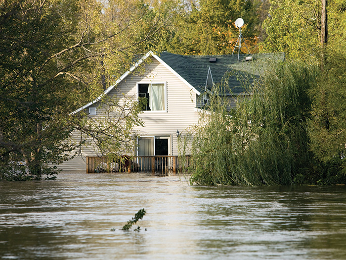
After a flood, property owners step back and survey their damages. They may have rotting drywall or jammed doors and windows. On the more severe end, their building foundation may have shifted, causing massive damage requiring thousands of dollars in repairs.
Added onto this is the emotional damage of losing mementos or photos in the flood, and the shock many insureds experience when they find out that insurance won’t cover the damage, since they didn’t purchase coverage for floods.
Nationwide, only 30% of homes on average in the highest risk flood areas have flood insurance and less than 25% of the buildings flooded by Hurricanes Harvey, Sandy, and Irma had insurance, according to the report “Closing the Flood Insurance Gap” from the University of Pennsylvania’s Wharton School of Business.
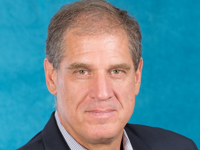
“Every time in the last few decades when we’ve had a major flood event in this country, we find out experimentally; just what our flood exposure is,” said Dr. Ed Kearns, chief data officer for First Street Foundation, a nonprofit research and technology group dedicated to determining America’s flood risk.
“A lot of homeowners are surprised that their homes are flooding. Many of them lose their life savings.”
Working with inaccurate flood models can leave both insurers and insureds, carrying risk for which they weren’t prepared. For property owners, that could mean they own a building prone to flooding, but don’t have it insured. Insurers and reinsurers on the other hand, could have mispriced policies or a poor understanding of the flood risk that they’re shouldering.
“If we can understand what the local impact of flood is, we can have greater pricing sophistication,” Brian Alvin, chief actuary of WKFC Underwriting Managers and CorRisk Solutions, both a series of Ryan Specialty Group Underwriting Managers said.
“Inaccurate flood modeling means higher pricing overall for everyone. If we can’t understand the local risks and local impacts of flood, then the insurance company can’t charge a rate commensurate with the risk, and has to charge everyone a higher rate to compensate.”
While current flood models are plagued by substantial gaps and don’t take into account the risks of climate change, new maps and risk assessment tools are helping the industry account for the flood risks of tomorrow.
Flood Modeling’s Past
Historically, property owners have been required to purchase flood insurance if they have a mortgage from a federally regulated or insured lender and if their home or building falls in a high-risk flood zone, as determined by FEMA’s maps, which use elevation maps and historical data to predict riverine flooding.
Dr. Ed Kearns, chief data officer, First Street Foundation
These maps, however, often have substantial gaps. According to FEMA’s own reports, more than 20% of flood claims come from properties outside of high-risk flood zones.
“FEMA’s flood zones, which are well documented are typically inaccurate, they’re out of date, and in some cases can be unreliable,” said Louis Hobson, SVP of North America Flood Insurance at Chubb.
“FEMA’s models only account for tidal floods as well as riverine floods and do not account for pluvial floods. That said, FEMA is now taking steps via its Risk Rating 2.0 initiative to align its modeling practices to what’s happening in the broader private market.”
“There are areas in the country where the flood maps are 10 years or more out-of-date,” added John Dickson, president and CEO of Aon Edge.
“Some areas even have flood maps that are as old as 30 years.”
Part of the reason these gaps exist is due to the changing nature of the topography around rivers and the ways global climate change has increased the severity of hurricanes and other rainstorms.
For some natural catastrophes, a mix of historical and geographic data could be all that’s needed to accurately predict potential damage to homes and other properties. Future earthquakes can be modeled using a combination of fault line maps and historical data on the severity of previous quakes.
The geographical features responsible for causing flooding aren’t quite as easy to map, however. When a flood occurs, it can change the surrounding topography, thus rendering maps inaccurate after, or even during, a natural hazard event.
“The flood itself starts to reshape the topography. We’ve seen where a flood builds up behind a levee and causes the levee to fail. All of a sudden the property that was behind that manmade flood protection is now exposed to the flood,” said Jeff Beauman, VP & chief underwriter at FM Global.
With Climate Change, Flood Models Need to Adapt
Even if changing topography is accounted for, modelers have to consider the risks of climate change, which has caused storms to become more severe and flooding to occur in places that had previously remained dry.

Arianna Armelli, founder and CEO, Dorothy
“The industry has predominantly relied on historically driven flood models, either from government issued flood maps or simply evaluating past claims data,” said Arianna Armelli, founder and CEO of Dorothy, a startup that seeks to accurately model flood zones and to simplify the insurance buying process for property owners, buyers and insurers.
The technology Dorothy uses mapped flood damage from Hurricane Harvey 60% more accurately than FEMA maps did.
“Given the increase in climate related storms, as well as the severity, I think historical reference should be used as a data point but should not be the sole source of risk-based assessment,” Armelli continued.
It’s not just hurricanes and tropical storms increasing the risks of flooding, however. Sea level rise is also contributing to increased flooding. Studies have found that climate change could cause the frequency of high tide flooding to double or even triple by 2030, according to reporting from the New York Times.
“Storms are happening more frequently and with greater intensity and damage,” said Phil Renaud, executive director of The Risk Institute at Ohio State University.
“Because of this frequent change, progress in flood mapping is made not necessarily in the map itself but from the perspective of business resilience — how companies look to mitigate all possible risks based on this information.”
A Flood of Predictive Data
Rather than relying solely on historical and geographic data, some flood modelers are turning to predictive models to take into account how global climate change is affecting flood risk.
“Floods require more detailed input data for modeling,” Javier Perez, the head CAT Modeling for Ryan Specialty Group, said.
“The more data we have, the reduction of data uncertainty will produce more accurate computations.”
The good news for insurers is that much of the predictive data they need to improve flood models already exists. The bad news: there’s a lot of it to sift through.
“Building comprehensive flood models means incorporating massive inputs of varied data sets to generate useful risk assessment insight. This is a difficult, time consuming task because it requires the sourcing of data, which in many cases, is unstructured, then it requires the analysis of that data to generate the insight and then the actual implementation,” Armelli said.
New, publicly available maps that take historical flooding, topography and climate change risks into account are also making it easier for both insurers and insureds to understand the risks they face from floods.
First Street Foundation released flood risk data for more than 142 million homes and properties across the country at the end of June. Their flood risk assessment tool found 6 million more properties have substantial flood risk than FEMA’s current models.
Instead of looking at flood risk from one specific type of event, it considered heavy precipitation, riverine flooding, coastal storms and sea level rise at the same time.
“We’re really trying to democratize this data,” Kearns said. “Instead of looking at one individual risk at a time, by combining them all, you get a very comprehensive look at what the flood risk is.”
Despite these improvements, the insurance industry still faces challenges when it comes to modeling floods. Namely, that it’s hard to get people to think about and prepare for floods unless they’ve been personally affected. “The only people really interested in flood, are those that have been touched by it in their lives,” Kearns said.
In recent years, however, Armelli says that interest in flooding has increased, and that carriers have become more open to discussing the gaps in flood modeling.
“The good thing is that carriers are already having these conversations, they have recognized the traditional ways of assessing risk are not efficient and are ready to adopt new techniques,” she said.
“I think a valuable next step would be to re-evaluate other risks, if we’ve learned anything from this recent pandemic and its effects on the insurance industry, it’s that flood is a piece to a much larger problem.” &