Satellites Are Going Mainstream; Here’s How Insurance Can Reap the Benefits
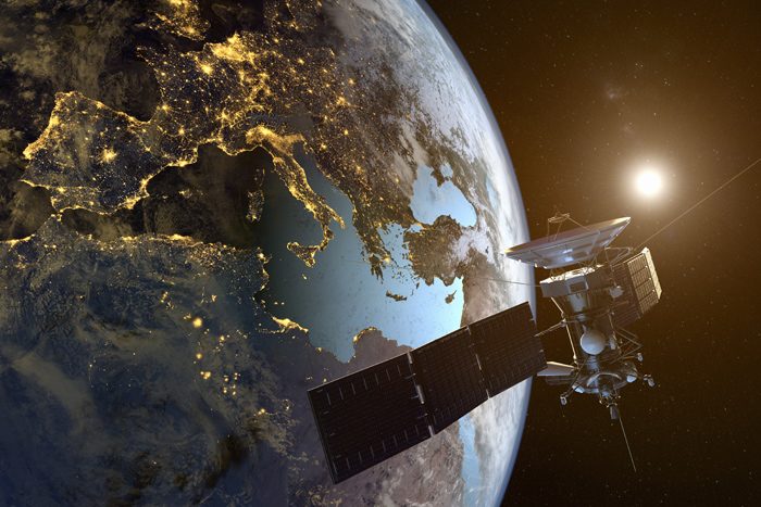
The Gist: Satellite imagery is going mainstream, and it’s fundamentally changing the information we have about global businesses. That’s according to this fascinating New York Times article detailing how a group of startups are launching surprisingly inexpensive satellites to gather vital information on the ground.
“High-altitude surveillance was once the domain of global superpowers,” the article said. “Now, a growing number of startups are turning it into a business, aiming to sell insights gleaned from cameras and other sensors installed on small and inexpensive ‘cube satellites.’ ”
The Times interviewed several satellite startup founders who argue that the technology will democratize surveillance and prevent businesses from hiding valuable information from regulators, watchdogs and competitors.
Practical Applications: Cube satellites can be used for a wide variety of purposes. It can use heat sensors to show activity in factories; detect illegal mining and logging operations; track the flow of visitors to retail stores; and analyze cell phone tower usage to determine which carriers are ahead.
“What began with satellite cameras is rapidly expanding to infrared sensors that detect heat; ‘hyperspectral’ sensors that identify minerals, vegetation and other materials; and radar scanners that can build three-dimensional images of the landscape below,” the Times said.
Why is satellite surveillance suddenly popular? The price of satellites have significantly lowered the barrier of entry — and modern technology has made them capable of incredible feats.
“Today, a $3 million satellite that weighs less than 10 pounds can capture significantly sharper images than a $300 million, 900-pound satellite built in the late 1990s,” the Times reported.
That’s leading to a satellite gold rush. There are now 730 satellites observing Earth from space. In 10 years, 2,220 more are coming, according to the article.
How does this affect the insurance industry? Insurers and businesses don’t need to launch satellites into space to access this new source of information — they can simply buy the analysis from satellite operators. That information can go a long way, from assessing damage to finding wrongdoing.
Imagine investigating a claim of a damaged roof from a hurricane. With satellite imagery, you can easily check what the roof looked like before the storm, see the exact timing of any damage and determine if claims are being inflated. You could even assess a client’s damage before they call to make a claim — and help predict losses far quicker.
The Globe and Mail reported that satellite imagery “speeds up predictions of how many claims insurers will receive and can provide enough information to cut down on the amount of time adjusters must wade through disaster zones.” It also reported that “Swiss Re uses a software system called CatNet to overlay satellite images of severe weather onto Google Maps, allowing them to zoom in and assess the extent of a disaster soon after it occurs.”
Read (and watch) on: It’s a fascinating space. Insurance Nerds offered this robust list of use cases to explain how satellites are affecting the insurance industry. Meanwhile, VentureBeat explains how a San Francisco startup is combining satellite imagery with AI for home inspections. It’s also worth watching this Ted Talk from Will Marshall of Planet Labs, as he explains why smaller satellites work better. &