Atmospheric Rivers Get New Rating System Similar to Hurricanes
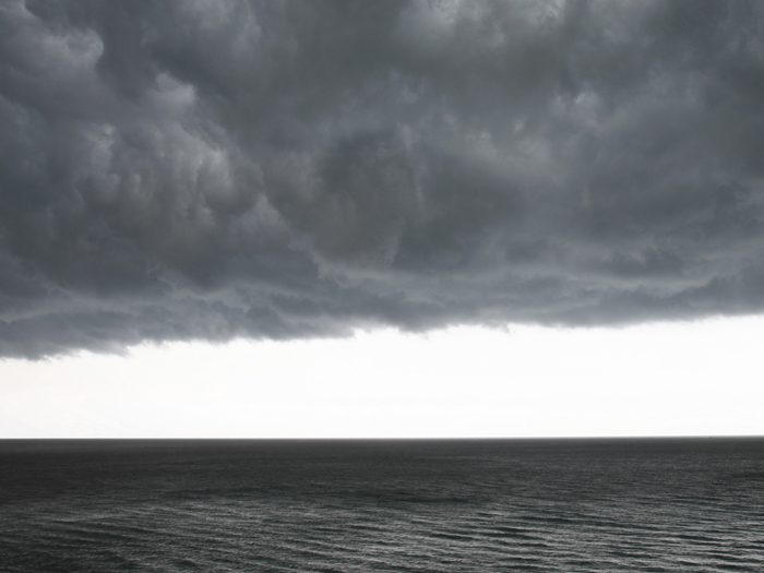
The Gist: Experts have developed a rating system for a newly studied weather phenomenon called atmospheric rivers — long, narrow collections of water vapor that cause rain and snow.
Think of them as rivers in the sky. The Washington Post reports that these rivers have the same basic rating system as hurricanes, CAT 1 to CAT 5: “The scale is based on, intuitively, how much airborne moisture is present above any given point on the map and for how long the atmospheric river (AR) flowed over that point.”
The scale was developed by the Center for Western Water and Weather Extremes at the University of California at the Scripps Institution of Oceanography.
Crucial on the West Coast: The new rating system gives everyone from first responders to insurance carriers to journalists a tool to understand the gravity of each storm. It’s particularly important in the West Coast where ARs are responsible for 92 percent of the heaviest three-day rain events, according to the Post.
“Oregon receives the most atmospheric rivers categorized as ‘extreme,’ averaging about one a year. Washington state gets an extreme AR every other year, the Bay Area about every three years, and Los Angeles once a decade,” according to the Post.
Retroactively rating ARs gives incredible insight: Experts are using the rating system to not only rate new systems but old ones, too. The AR that dumped seven feet of snow on Lake Tahoe recently? That was a CAT 3, or “strong” at landfall. The 1996-97 atmospheric river that caused California’s worst flooding since 1950? That was a CAT 5, or “exceptional.”
How is this new rating system different? In the past, experts categorized ARs based on the amount of water vapor detected. The new scale adds a time element: “If an atmospheric river lasts in an area for less than 24 hours, it is demoted by one category; if it lingers for more than 48 hours, it is bumped up a place (but not past AR Cat 5),” according to the Post.
ARs are generally good … Most ARs are beneficial, “providing 22 percent of total global runoff through rains and snowpack; on the U.S. West Coast, that figure can rise to 50 percent. Long-term absences of ARs can lead to parching droughts.”
… until they aren’t: In 2015, AR-driven storms in the U.K. brought intense rainfall and widespread flooding with industry loss estimates reaching as high as $3.7 billion. That same year, India experienced incredibly damaging floods estimated to cost $3 billion in economic loss.
Insurance implications: Studying the impact of atmospheric rivers is crucial to risk management and damage assessment on a variety of levels. Major AR events can cause catastrophic flooding, like we saw in India and the UK in 2015. The absence of AR events can exacerbate wildfires — a particularly perplexing problem on the West Coast. As sea temperatures rise, the most extreme AR events could get far more intense and lead to larger losses.
Lead Meteorologist at JLT Re North America, Josh Darr explained to Artemis in an interview: “Most extreme events in the future have a higher likelihood of being more intense than events we’ve seen in the historical record. When topography intersects slow moving AR events, potentially catastrophic flooding ensues.”
Could it lead to a Black Swan event like a weeks-long superstorm that causes devastating flooding on the West Coast? It happened between December 1861 and February 1862 in California. We examined the scary what-if in our special Black Swans issue a few years back. It’s worth reading. &