about
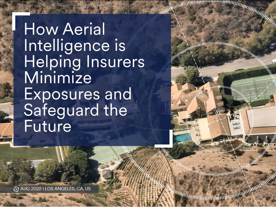
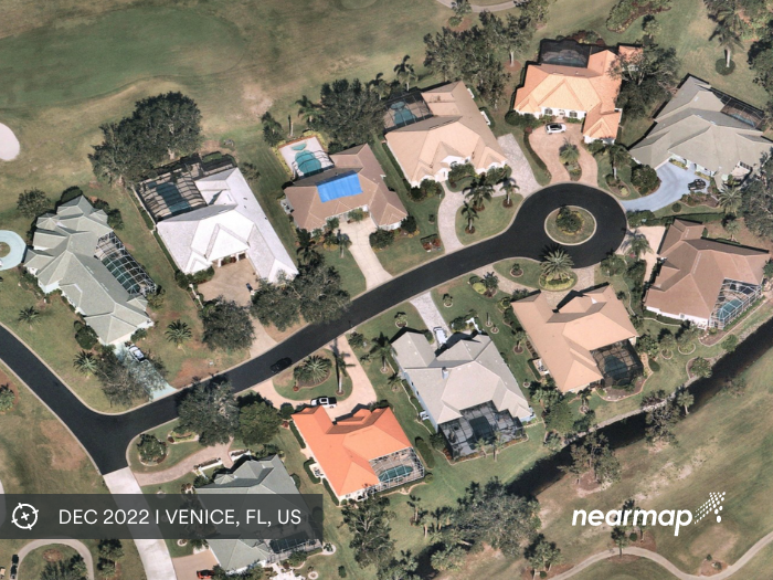
Nearmap regularly captures current, high resolution imagery and property insights across more than 100 million residential and commercial parcels in the U.S. and 10 million in Canada, giving the North American insurance ecosystem unprecedented access to truth on the ground to make critical decisions across the entire policy lifecycle — from mitigating risk and calibrating price, to supporting underwriting and renewals, to speedy investigation and processing of claims with both pre- and post- catastrophe data.
 Risk Central